Fully offline AI
Every model — vision, diagnosis, flight planning — runs on the drone and the app. No cloud round-trip, no signal required, no farm data leaving your hands.
Autonomous Field Operations
AgroDrone is an autonomous agricultural drone that maps your farm, flies its own scanning routes, and reads every leaf, weed and soil sample with onboard AI — no signal, no cloud, no gaps in coverage. Spot a problem and send it back out to spray exactly where it's needed.
Out in the field
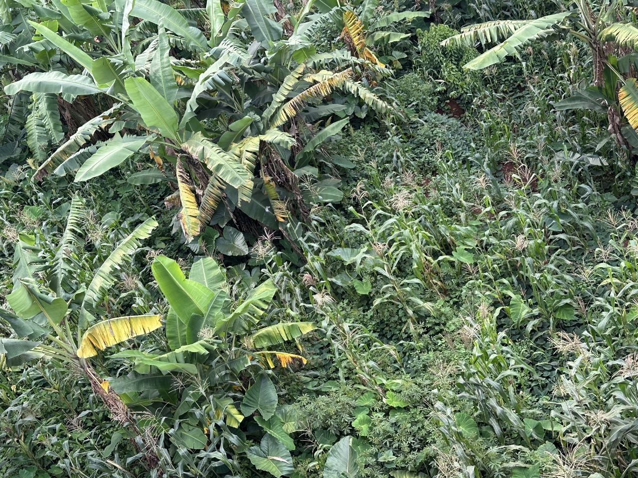
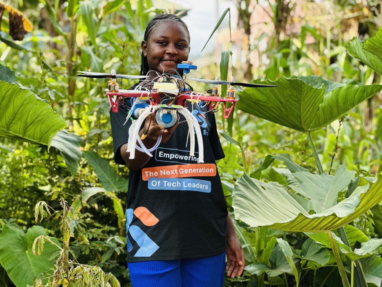
How it works
Draw your field boundaries in the mobile app. No survey equipment, no internet — the boundary and every waypoint are stored on the device.
Tap once. AgroDrone launches, flies the mapped route on its own, and covers every row on battery and timing it plans itself.
Back on the ground, open the app to see disease hotspots, weed clusters and soil readings laid over your field map, row by row.
Send AgroDrone back out to treat only the flagged zones. When the tank runs low, it returns to the dock, refills, and finishes the job.
Live Field Operations
Experience autonomous flight planning, real-time leaf diagnosis, and spot-spraying in high definition. Click the video stage below to start the demo.
Features
Every model — vision, diagnosis, flight planning — runs on the drone and the app. No cloud round-trip, no signal required, no farm data leaving your hands.
Onboard imaging spots early signs of blight, rust and mildew per plant, plotted precisely on your field map for follow-up.
Tells crop from weed at the leaf level and marks every cluster, so treatment lands only where it's actually needed.
Reads moisture, texture and coverage gaps across the field, building a soil map you can act on before it costs you yield.
Plans its own route across your mapped boundary, adjusts for wind and battery, and returns to dock without a pilot at the stick.
Targets flagged zones only, then docks itself to refill the tank and recharge before finishing the pass — no manual handling mid-job.
The companion app
Map boundaries, launch scans, read results and dispatch spray runs — all from one app that keeps working whether you're in the barn or three fields from the nearest tower.
The crew

AI Developer
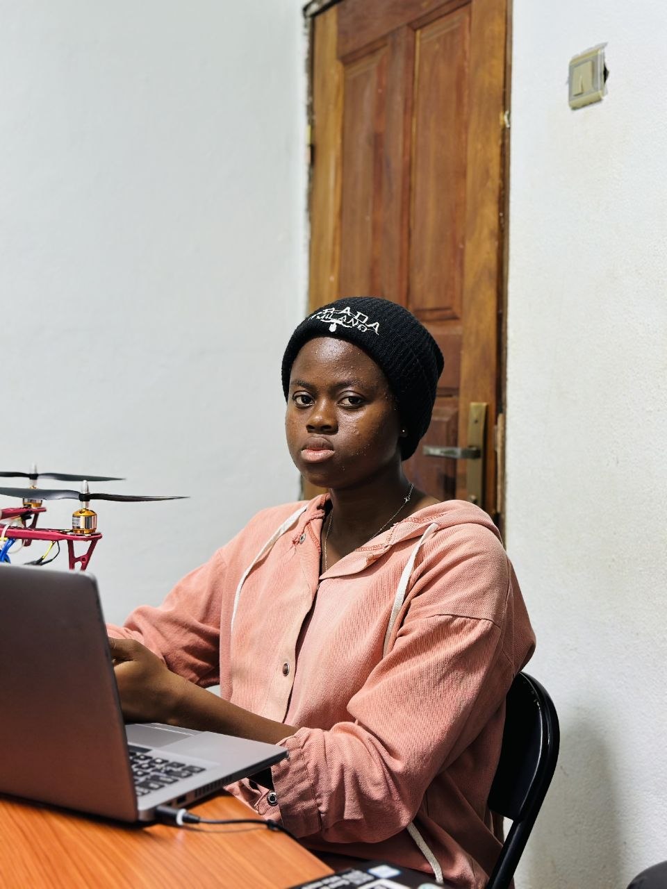
Hardware Engineer

Hardware Engineer

Hardware and Power Engineer

Embedded System Support

Software Developer
Questions
Yes. Field mapping, flight planning, disease and weed detection, soil analysis and spray targeting all run on models stored on the drone and the mobile app. Nothing is uploaded and nothing needs to be downloaded mid-job.
You mark the field boundary once in the app. AgroDrone plans a coverage route inside that boundary, flies it, and adjusts on the fly for wind and remaining battery before returning to its dock.
The drone returns to its dock on its own, refills the tank and tops up its charge, then heads back out to finish the flagged zones — no one needs to carry a tank across the field.
The onboard models are trained on a wide range of crops and regional weed species, and results are laid over your field map row by row so you can confirm any flag before treatment goes out.
It's built for row-crop and orchard operations from a few hectares up to large multi-block farms — the app supports multiple mapped fields and saved flight routes per block.
No piloting experience is required. Mapping a field, launching a scan and dispatching a spray run are each a single command in the app — the drone handles takeoff, routing and landing itself.
Ready when your fields are
Talk to the team about bringing AgroDrone to your farm — mapping, scanning and spraying, without ever needing a signal.